 ru
ru
 English
 French
 Polish
 Ukrainian
 Serbian


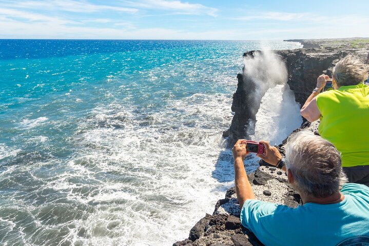


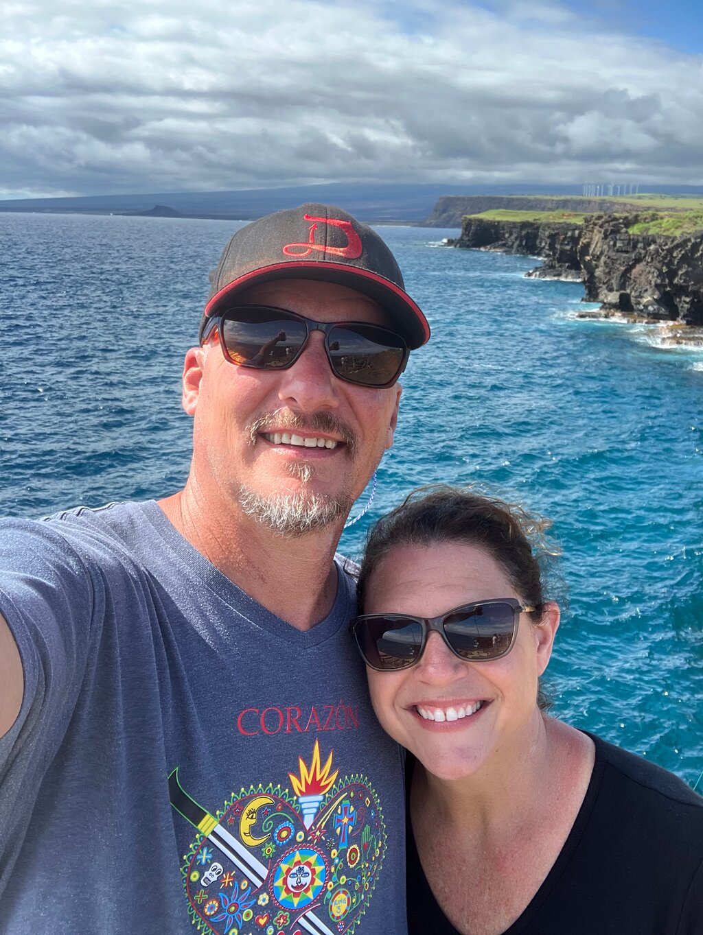
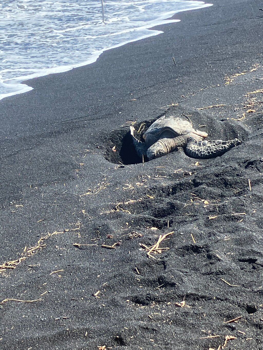
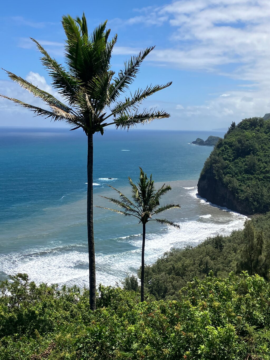
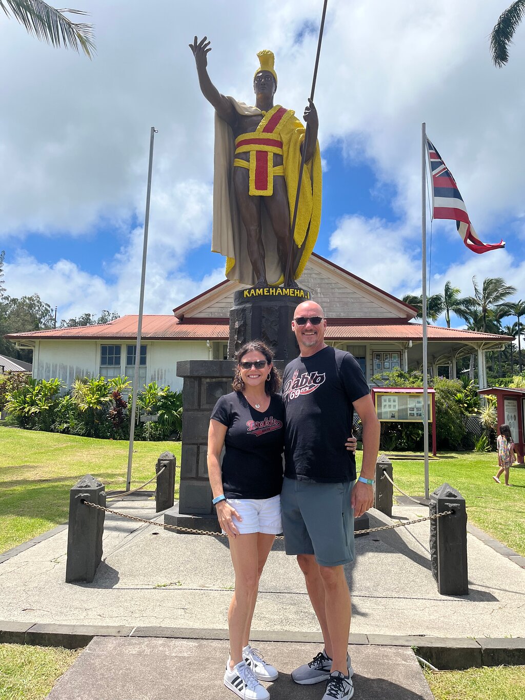
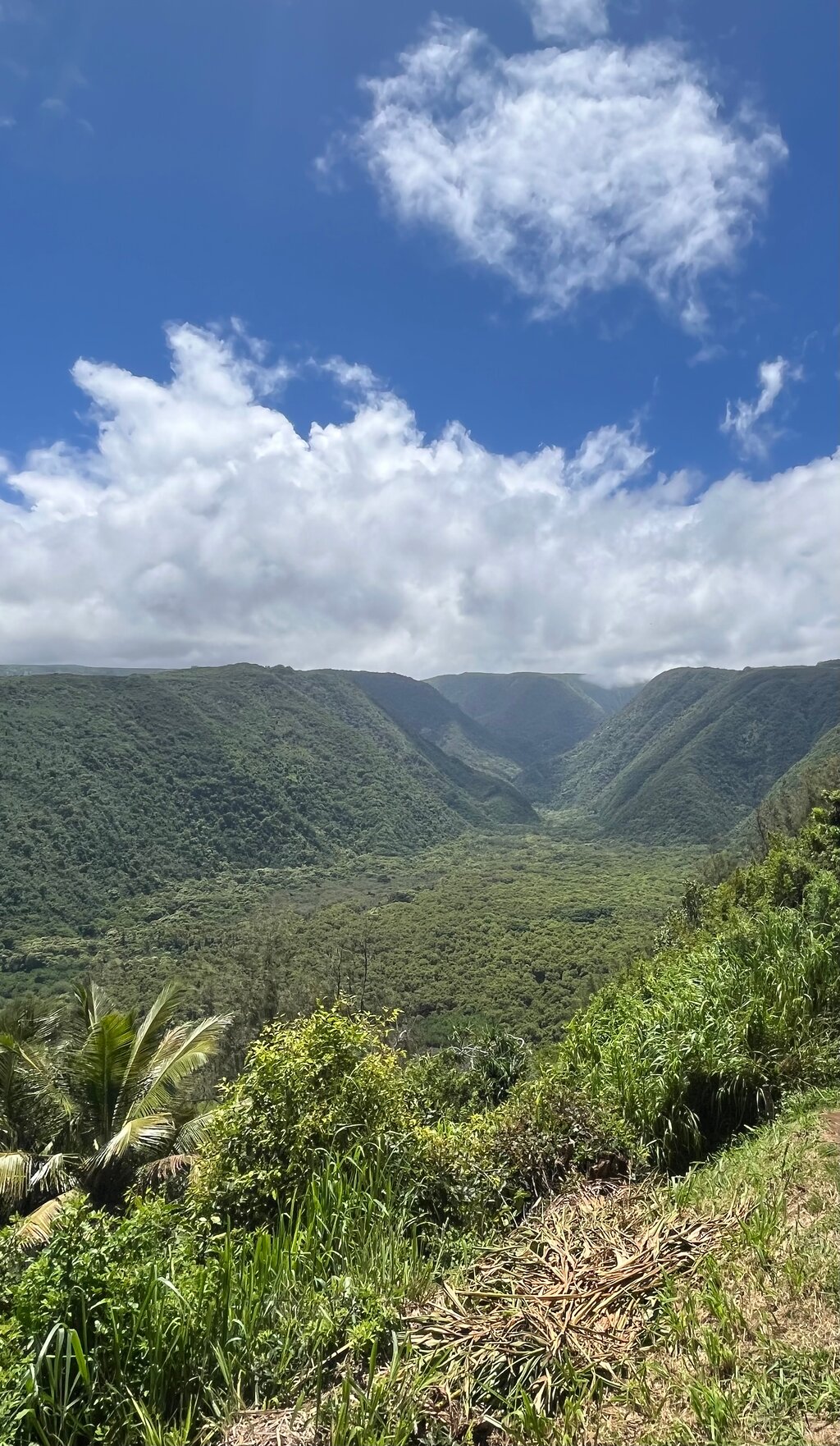
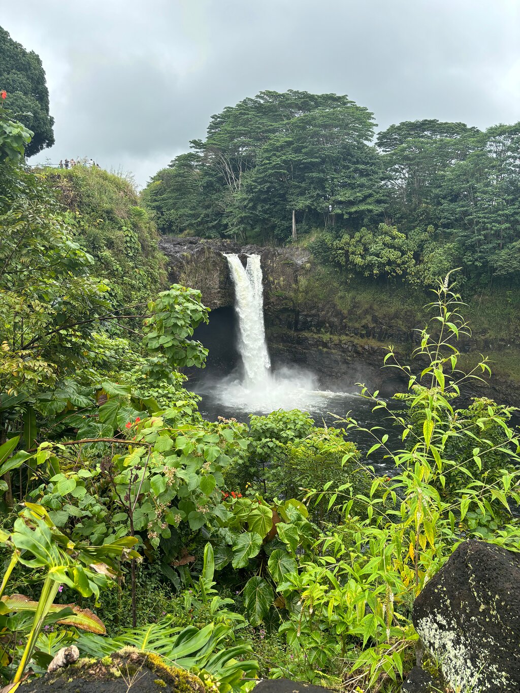
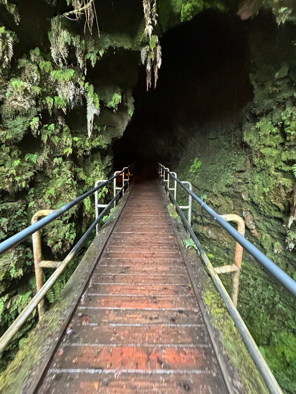
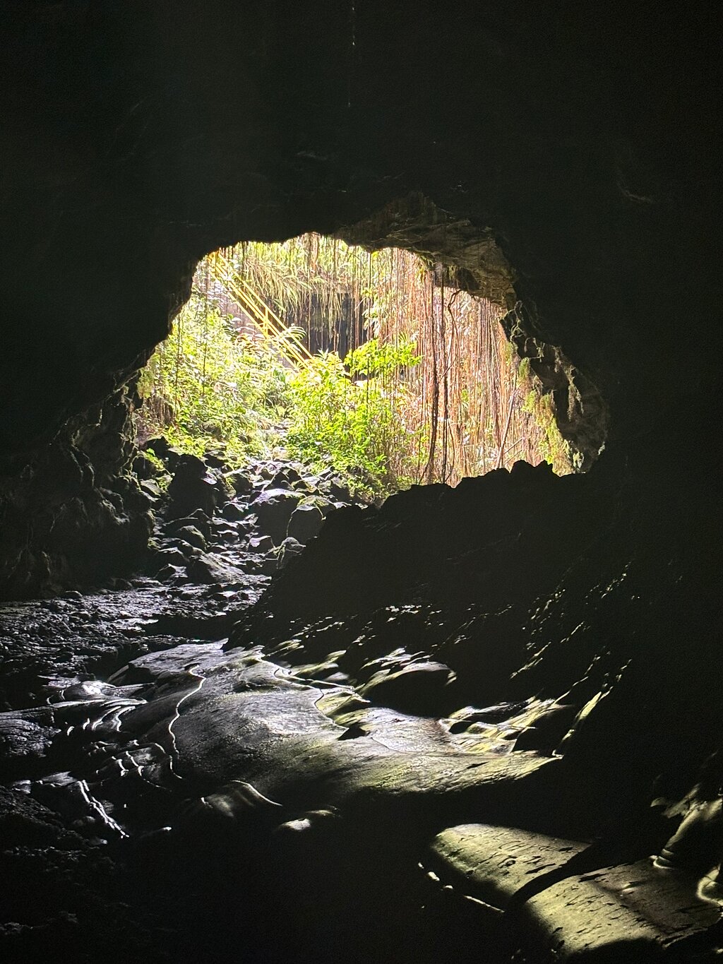
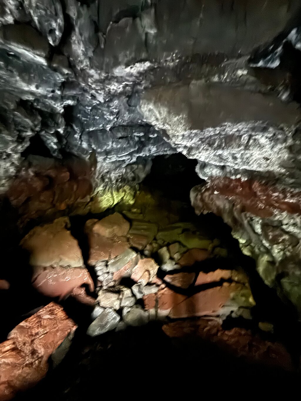
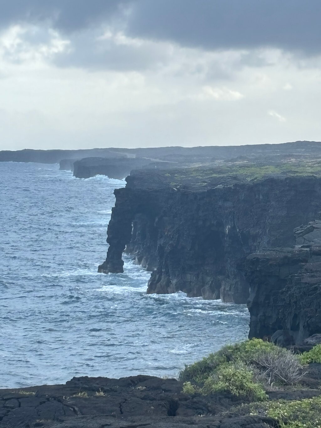
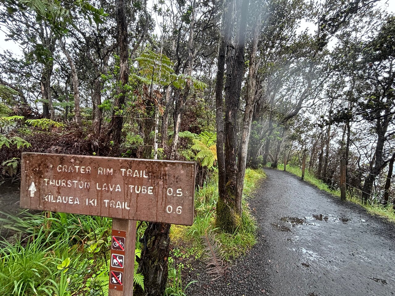
Don't miss a thing as GuideAlong's Audio Driving Tour takes you on an incredible journey across Hawaii's Big Island. Along the way you'll be guided to all of the island's famous highlights including Volcanoes National Park, the Place of Refuge and Akaka Falls, as well as the best spots for seeing turtles and more lessor known spots across the island.
Hear fascinating behind-the-scenes stories, local tips and directions play automatically along the route, all based on your location.
And enjoy the freedom to explore offline at your own pace so you can spend more time at places that interest you, and bypass any that don’t.
Stories, tips and directions play automatically based on your location
Travel at your own pace
Tours work offline using GPS, no cell service or WiFi needed
Suggested itineraries for half, full or multi day use
Buy once, use forever! No expiry, includes free updates
Like having a tour guide along for the drive
Purchase one tour per vehicle.


 Уникальный опыт
 Путешествия и транспортные услуги
 Туры, экскурсии и круизы
 Билеты и пропуска
 Билеты и абонементы на спортивные мероприятия
 Малая группа
 Сезонные и особые случаи
 Санитарные меры приняты
 Занятия на улице
 Вероятность продажи
 ЛГБТ-дружественные туры
 Подходит для детей
 Включает животных
 Удобно избегать скопления людей
 Еда, напиток
 Превосходное качество
 Классы и семинары
 Лучшая конверсия
 Аудиогиды
 Искусство и культура
 Виатор Плюс
 Sustainable Tours
Limousine Transfers
Donut Walking Tour
Virtual Experiences
Additional fees
DSA non-compliant
Sustainable Tours
Limousine Transfers
Donut Walking Tour
Virtual Experiences
Additional fees
DSA non-compliant
Нью-Йорк
Исследовать
Уникальный опыт
Путешествия и транспортные услуги
Туры, экскурсии и круизы
Билеты и пропуска
Билеты и абонементы на спортивные мероприятия
Малая группа
Сезонные и особые случаи
Санитарные меры приняты
Занятия на улице
Вероятность продажи
ЛГБТ-дружественные туры
Подходит для детей
Включает животных
Удобно избегать скопления людей
Еда, напиток
Превосходное качество
Классы и семинары
Лучшая конверсия
Аудиогиды
Искусство и культура
Виатор Плюс
Sustainable Tours
Limousine Transfers
Donut Walking Tour
Virtual Experiences
Additional fees
DSA non-compliant


 Более
Более


 Продолжить через Google
 Продолжить с Facebook
 Продолжить с Twitter
