 pl
pl
 English
 Russian
 French
 Ukrainian
 Serbian


Recommended: Purchase one tour per car, not per person. Everyone listens together!
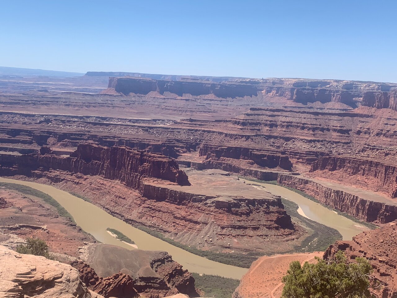
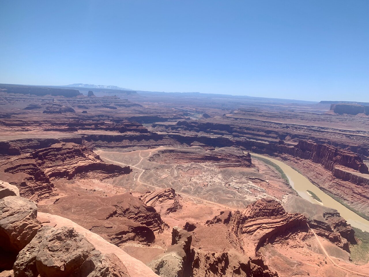
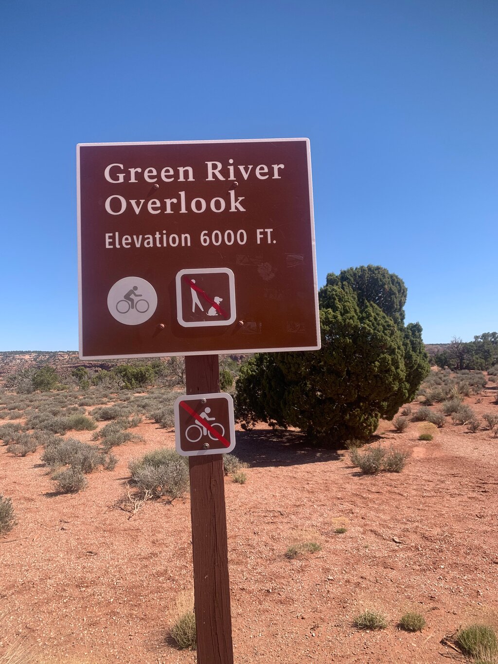
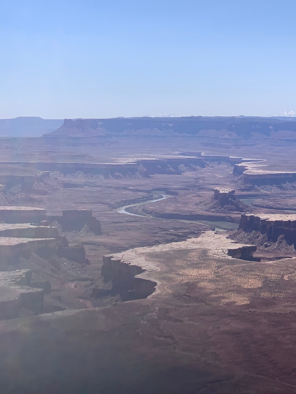
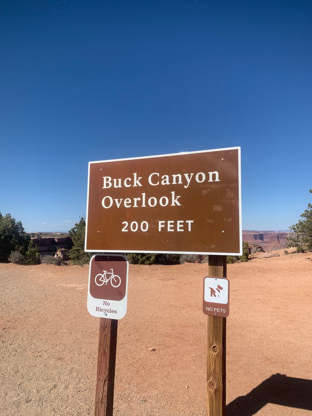
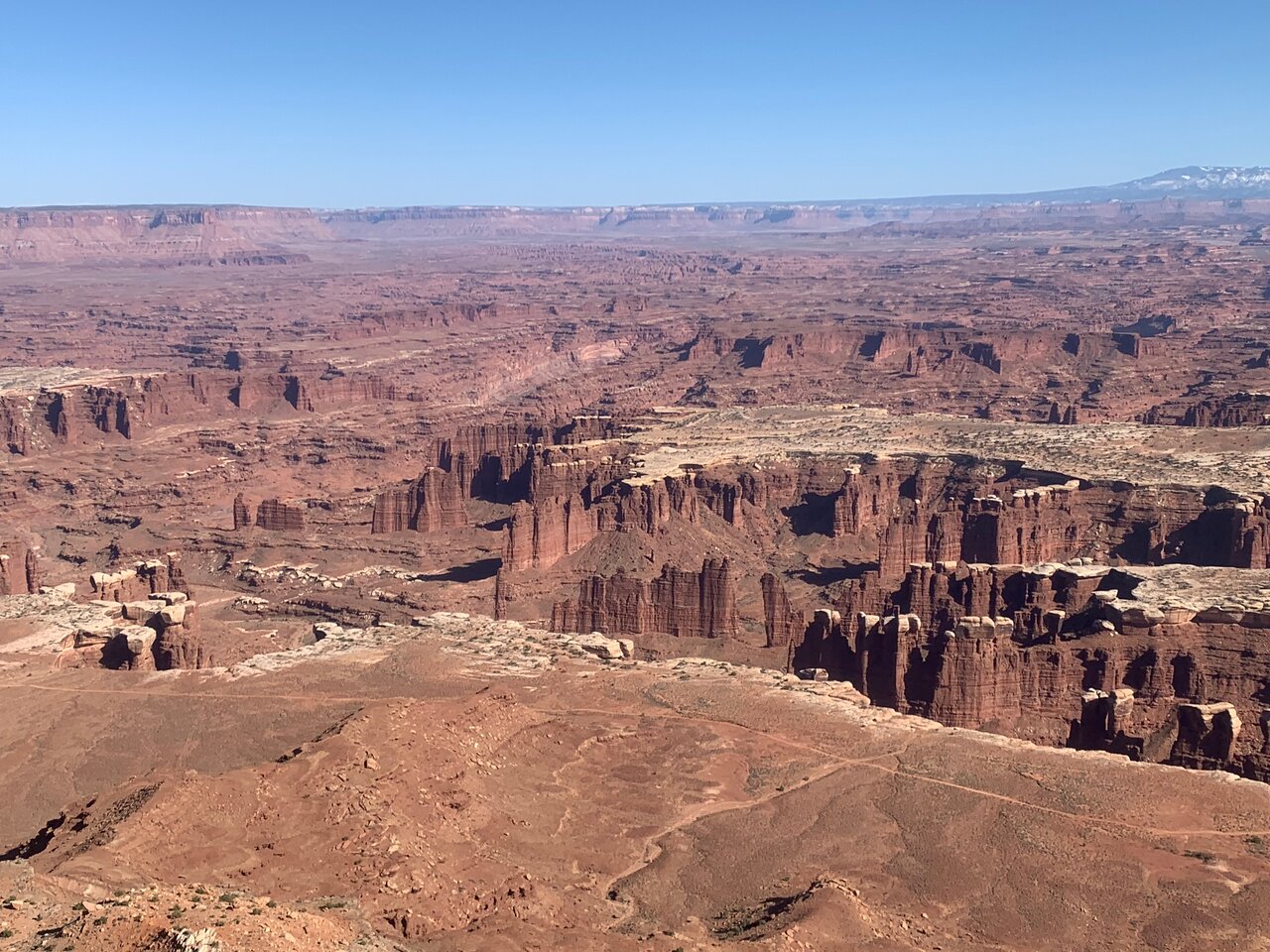
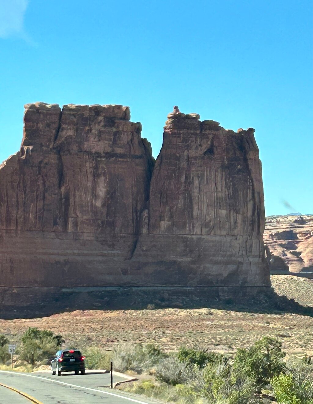
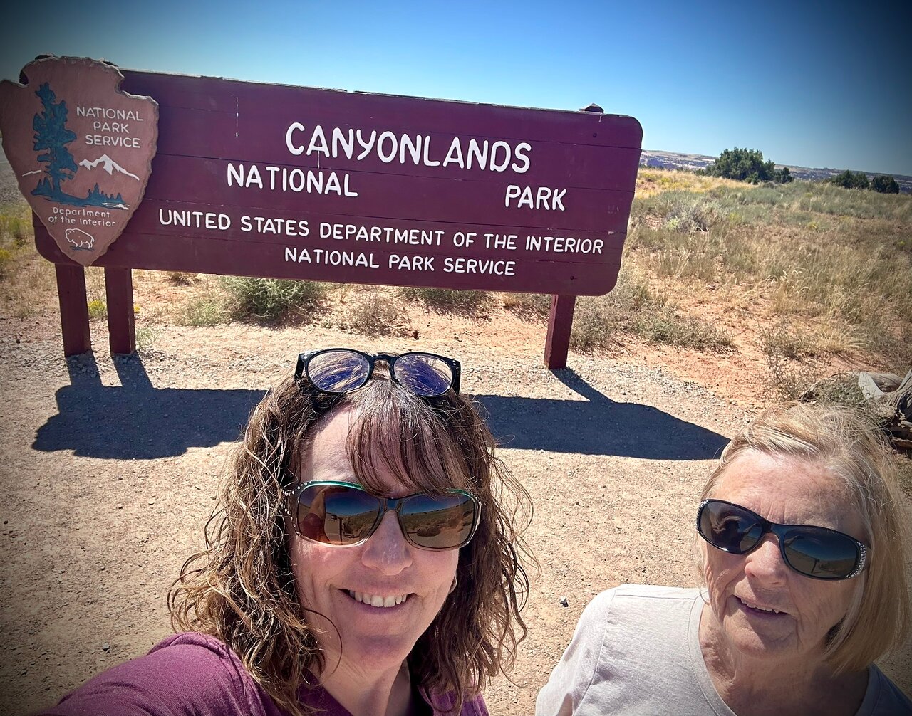
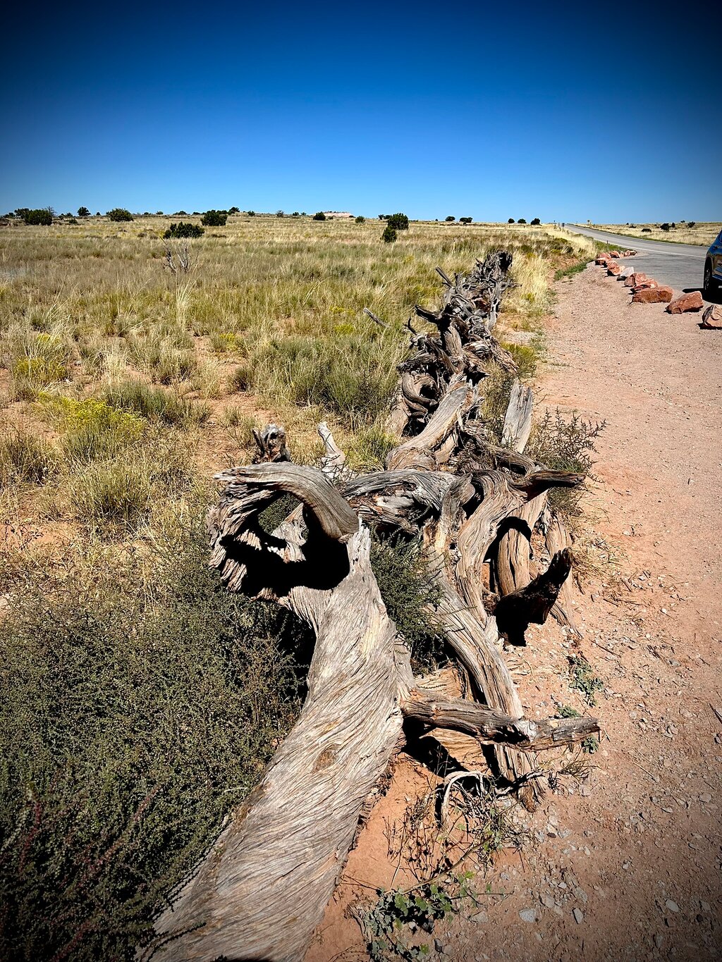
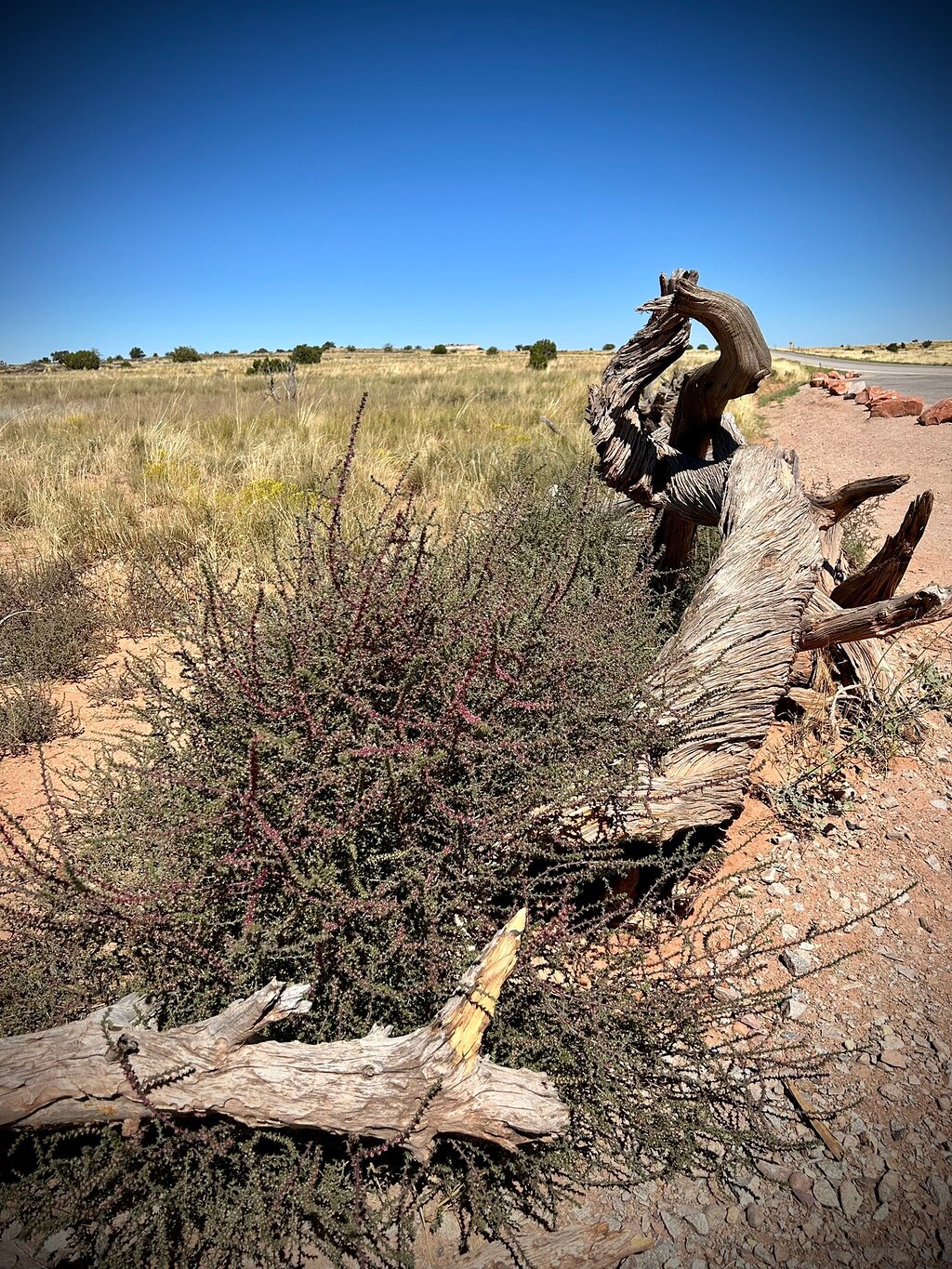
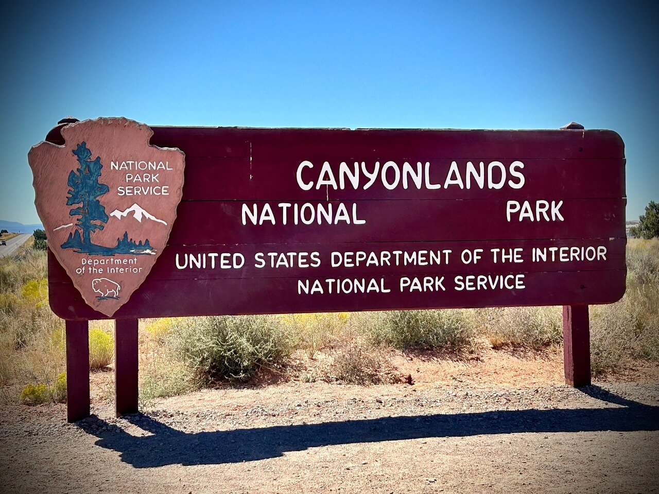
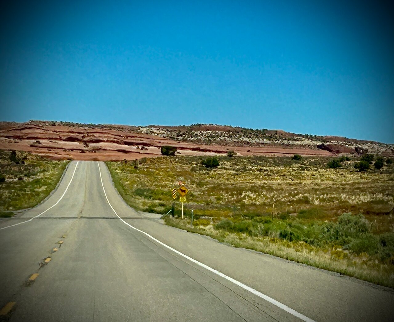
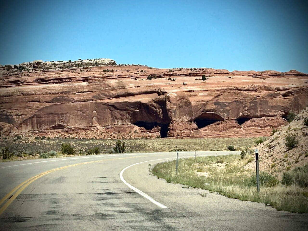
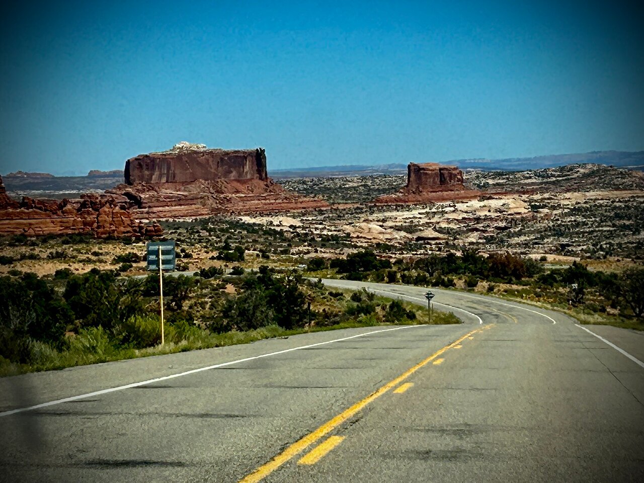
Explore the sweeping canyons, deep valleys, and gigantic mesas of Canyonlands National Park with this self-guided driving tour. Discover Mesa Arch and its iconic sunrise, admire a stunning landscape from the White Rim Trail, and learn about the cowboys who once tried to tame this wild and wonderful land. This self-guided tour allows you to explore Canyonlands with maximum flexibility and value.
After booking, check your email to download the separate Audio Tour Guide App by Action, enter your unique password, and access your tour. These steps require good internet/Wi-Fi access. From there, follow the audio instructions and the route.
Buy once, use for one year! Ideal for extended visits and return trips over the next 12 months.
This isn't an entrance ticket. Check opening hours before your visit.


 Wyjątkowe doświadczenia
 Usługi podróżnicze i transportowe
 Wycieczki, zwiedzanie i rejsy
 Bilety i karnety
 Bilety i karnety na wydarzenia sportowe
 Mała grupa
 Sezonowe i specjalne okazje
 Zastosowano środki sanitarne
 Zajęcia na dworzu
 Prawdopodobne do wyprzedania
 Wycieczki przyjazne LGBT
 Przyjazne dla dzieci
 Obejmuje zwierzęta
 Dobre do unikania tłumów
 Jedzenie picie
 Świetna jakość
 Zajęcia i warsztaty
 Najlepsza konwersja
 Przewodniki audio
 Sztuka i kultura
 Viator Plus
 Sustainable Tours
Limousine Transfers
Donut Walking Tour
Virtual Experiences
Additional fees
DSA non-compliant
Sustainable Tours
Limousine Transfers
Donut Walking Tour
Virtual Experiences
Additional fees
DSA non-compliant
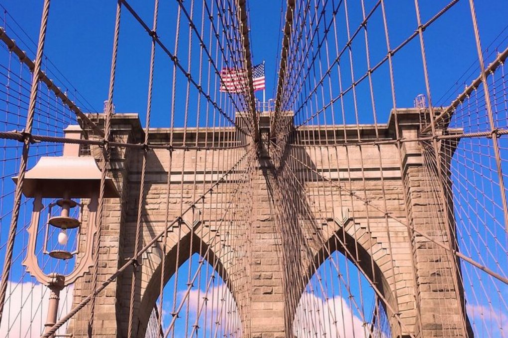
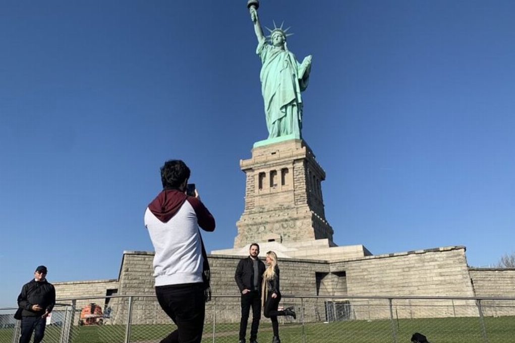
Nowy Jork
Badać
Wyjątkowe doświadczenia
Usługi podróżnicze i transportowe
Wycieczki, zwiedzanie i rejsy
Bilety i karnety
Bilety i karnety na wydarzenia sportowe
Mała grupa
Sezonowe i specjalne okazje
Zastosowano środki sanitarne
Zajęcia na dworzu
Prawdopodobne do wyprzedania
Wycieczki przyjazne LGBT
Przyjazne dla dzieci
Obejmuje zwierzęta
Dobre do unikania tłumów
Jedzenie picie
Świetna jakość
Zajęcia i warsztaty
Najlepsza konwersja
Przewodniki audio
Sztuka i kultura
Viator Plus
Sustainable Tours
Limousine Transfers
Donut Walking Tour
Virtual Experiences
Additional fees
DSA non-compliant


 Jeszcze

 Kontynuuj z Google
 Kontynuuj z Facebookiem
 Kontynuuj z Twitterem
