 pl
pl
 English
 Russian
 French
 Ukrainian
 Serbian
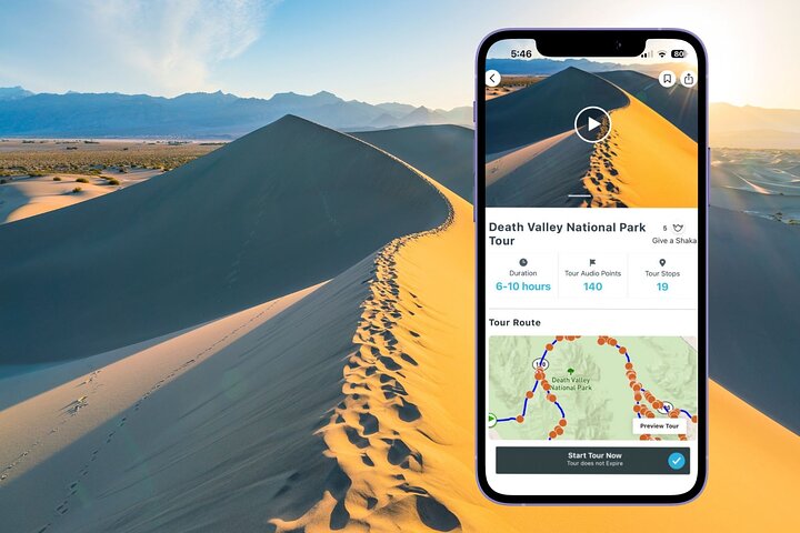
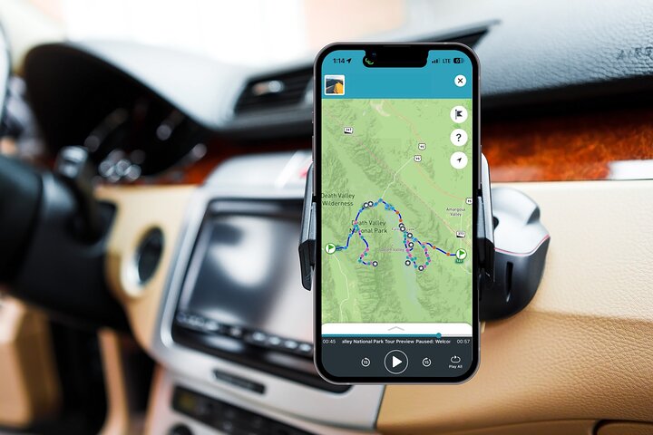
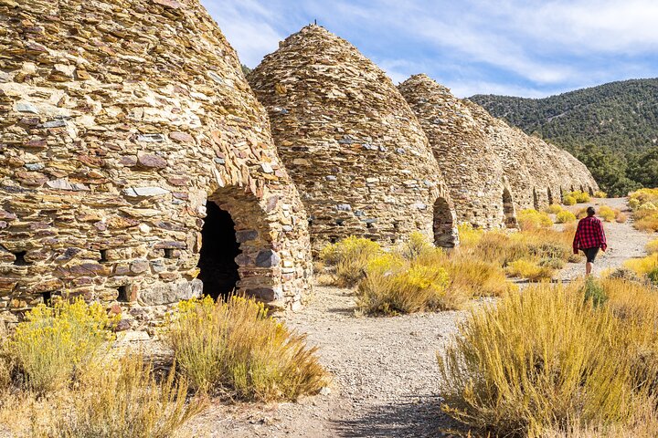
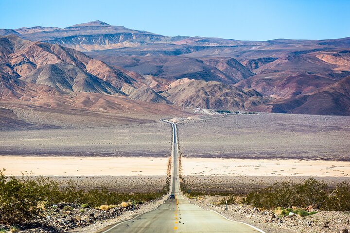
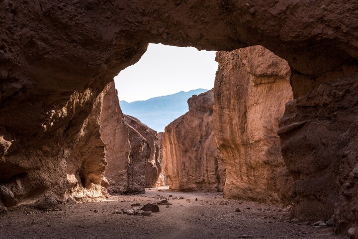
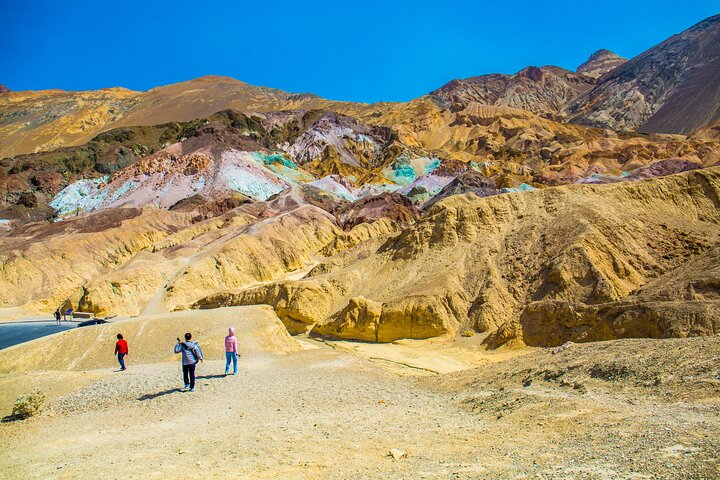
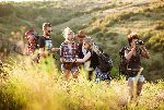
Death Valley is one of America’s most evocative national parks, with desolate desert landscapes, dramatic mountain ranges, and of course, the lowest point in North America. Let Shaka Guide lead the way!
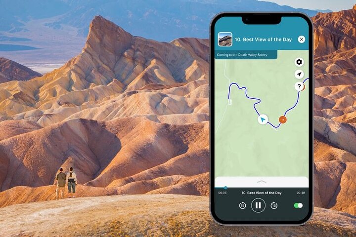
We take you to many of the park’s most fascinating and awe-inspiring places.
Plus, we’ll discover some surprising references to popular culture. You don’t know what you don’t know about Death Valley!
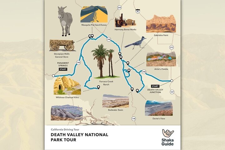
Here are just a few of the fun things you can do on the Death Valley National Park Tour!
• Take in views of Badwater Basin at Dante’s View
• Walk along of field of sand dunes at Mesquite Flat Sand Dunes
• Watch the sunrise, or set, at Zabriskie Point
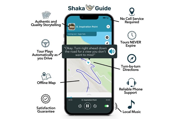
All Shaka Guide tours come with customer support and a 100% satisfaction guarantee. Tours never expire.
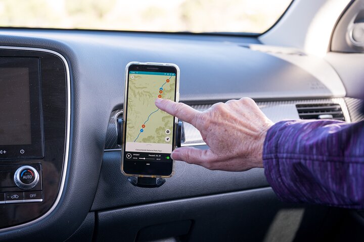
*Download the Shaka Guide app to access your purchased tours.*


 Wyjątkowe doświadczenia
 Usługi podróżnicze i transportowe
 Wycieczki, zwiedzanie i rejsy
 Bilety i karnety
 Bilety i karnety na wydarzenia sportowe
 Mała grupa
 Sezonowe i specjalne okazje
 Zastosowano środki sanitarne
 Zajęcia na dworzu
 Prawdopodobne do wyprzedania
 Wycieczki przyjazne LGBT
 Przyjazne dla dzieci
 Obejmuje zwierzęta
 Dobre do unikania tłumów
 Jedzenie picie
 Świetna jakość
 Zajęcia i warsztaty
 Najlepsza konwersja
 Przewodniki audio
 Sztuka i kultura
 Viator Plus
 Sustainable Tours
Limousine Transfers
Donut Walking Tour
Virtual Experiences
Additional fees
DSA non-compliant
Sustainable Tours
Limousine Transfers
Donut Walking Tour
Virtual Experiences
Additional fees
DSA non-compliant
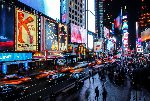
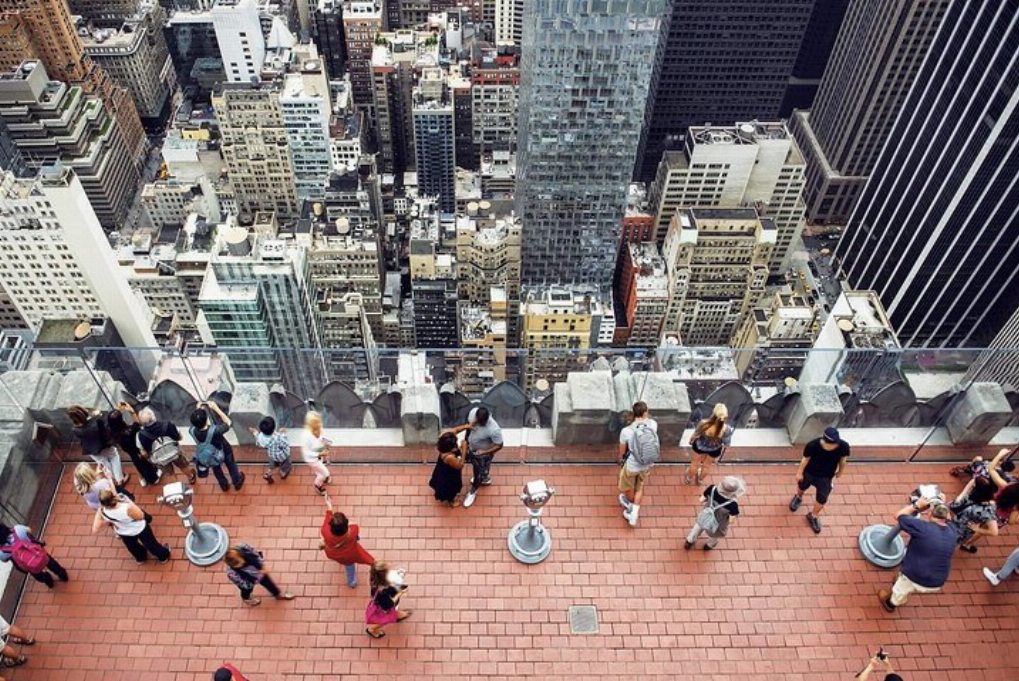
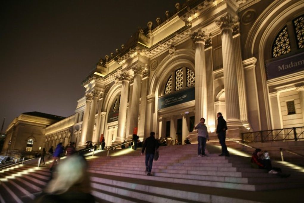
Nowy Jork
Badać
Wyjątkowe doświadczenia
Usługi podróżnicze i transportowe
Wycieczki, zwiedzanie i rejsy
Bilety i karnety
Bilety i karnety na wydarzenia sportowe
Mała grupa
Sezonowe i specjalne okazje
Zastosowano środki sanitarne
Zajęcia na dworzu
Prawdopodobne do wyprzedania
Wycieczki przyjazne LGBT
Przyjazne dla dzieci
Obejmuje zwierzęta
Dobre do unikania tłumów
Jedzenie picie
Świetna jakość
Zajęcia i warsztaty
Najlepsza konwersja
Przewodniki audio
Sztuka i kultura
Viator Plus
Sustainable Tours
Limousine Transfers
Donut Walking Tour
Virtual Experiences
Additional fees
DSA non-compliant


 Jeszcze
 Kontynuuj z Google
 Kontynuuj z Facebookiem
 Kontynuuj z Twitterem
