 ru
ru
 English
 French
 Polish
 Ukrainian
 Serbian


Рекомендуется: покупайте один тур на машину, а не на человека. Все слушают вместе!
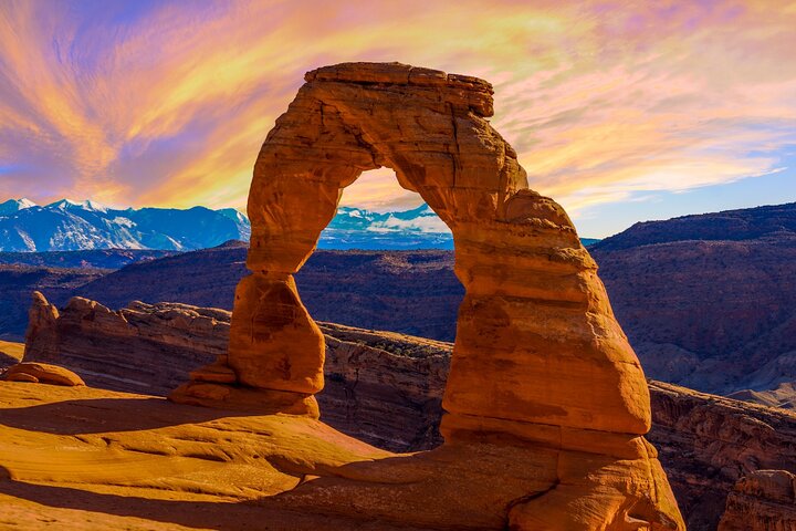
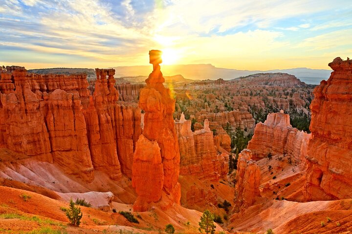
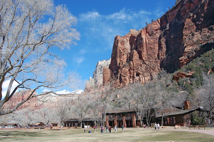
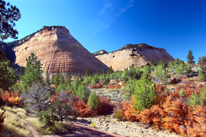
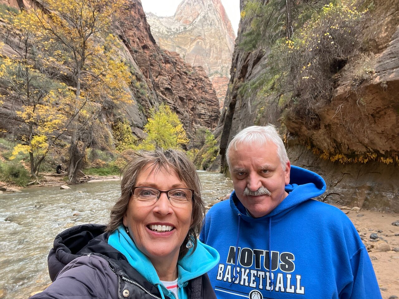
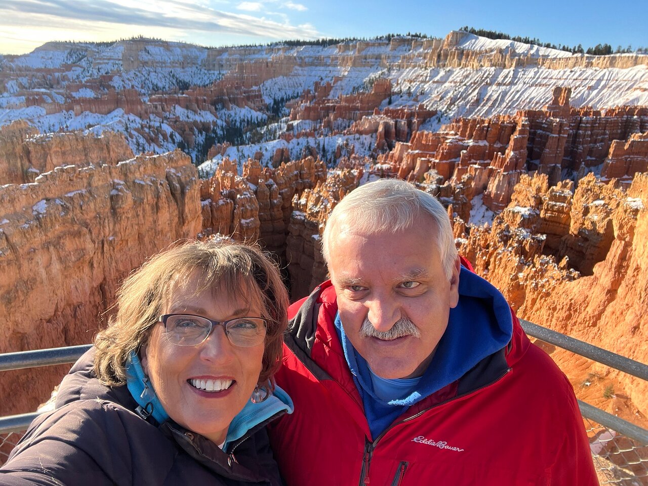
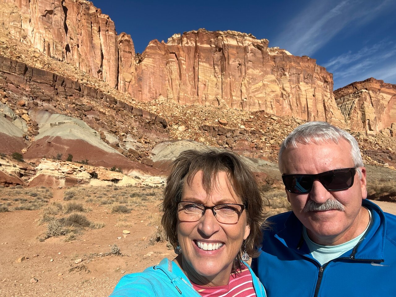
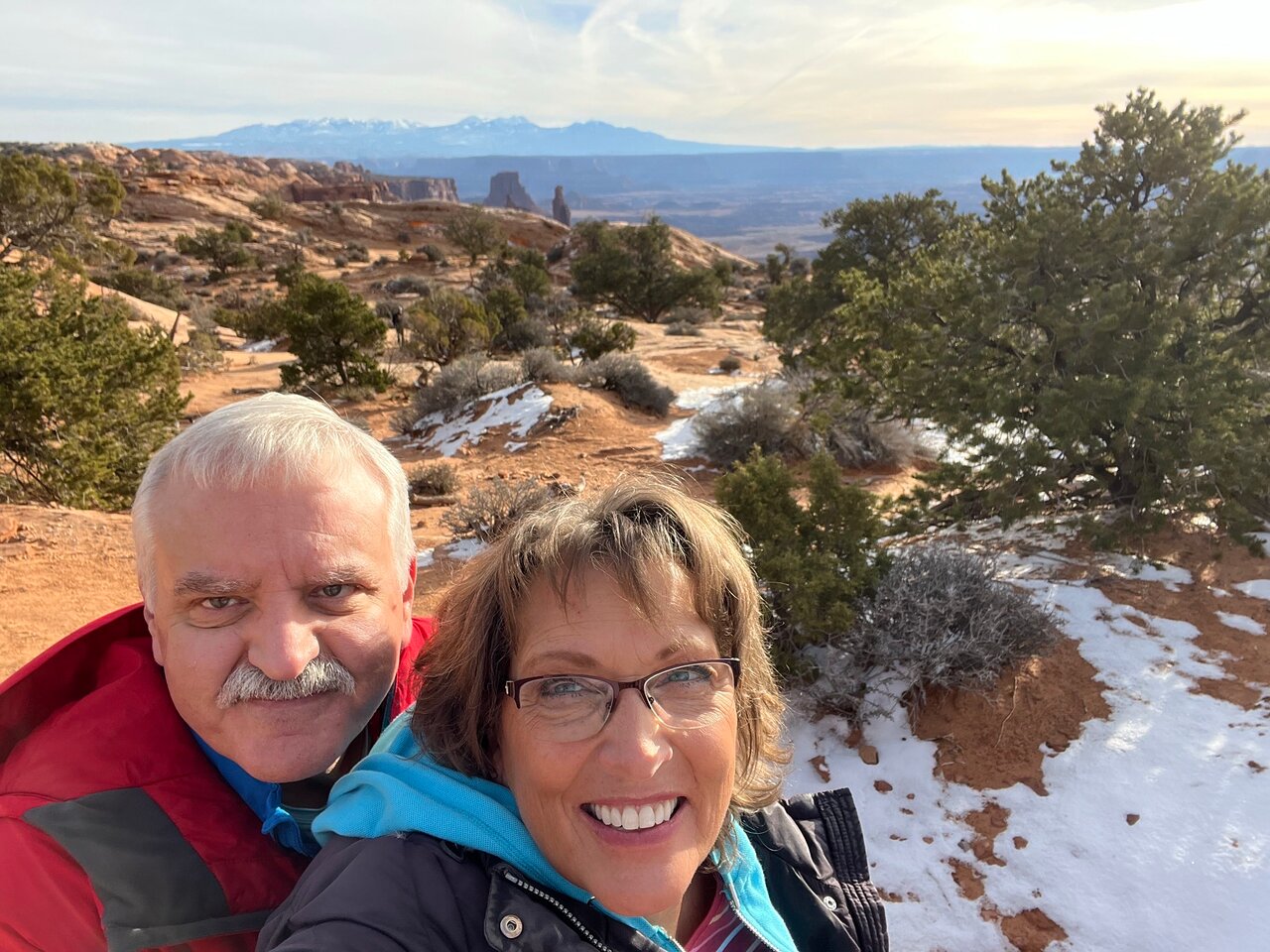
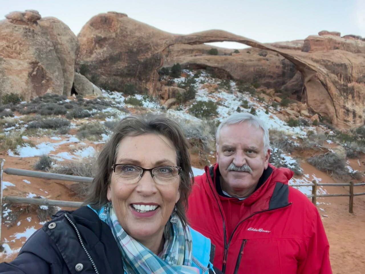
Исследуйте всю величественную красоту Юты! От возвышающихся каньонов Сиона до ненадежных арок арок — посмотрите все, что могут предложить национальные парки, и многое другое. Прогуляйтесь по таинственным худу Брайса, полюбуйтесь необъятностью Парадной лестницы и осмотрите огромные образования Долины монументов. Этот комбинированный тур включает в себя автомобильные туры по Аркам, Каньонленду, Долине монументов, Брайсу, Большой лестнице - Эскаланте и Сиону в одном.
В течение 30 минут мы вышлем вам две вещи: пароль и приложение. Загрузите приложение, введите пароль и загрузите тур. Когда вы приедете, идите к первой остановке, чтобы начать тур. Придерживайтесь маршрута тура и ограничения скорости для получения наилучших впечатлений.
Без ограничения срока действия — Тур действует пожизненно!
Это не входной билет на достопримечательности по маршруту. Перед посещением ознакомьтесь с правилами пандемии и часами работы.


 Уникальный опыт
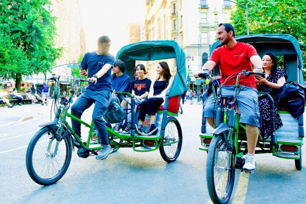
 Путешествия и транспортные услуги
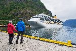 Туры, экскурсии и круизы
 Билеты и пропуска
 Билеты и абонементы на спортивные мероприятия
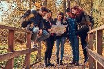 Малая группа
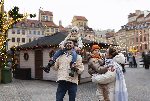 Сезонные и особые случаи
 Санитарные меры приняты
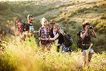
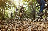 Занятия на улице
 Вероятность продажи
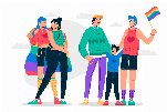 ЛГБТ-дружественные туры
 Подходит для детей
 Удобно избегать скопления людей
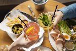 Еда, напиток
 Превосходное качество
 Классы и семинары
 Лучшая конверсия
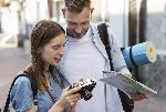
 Аудиогиды
 Искусство и культура
 Виатор Плюс
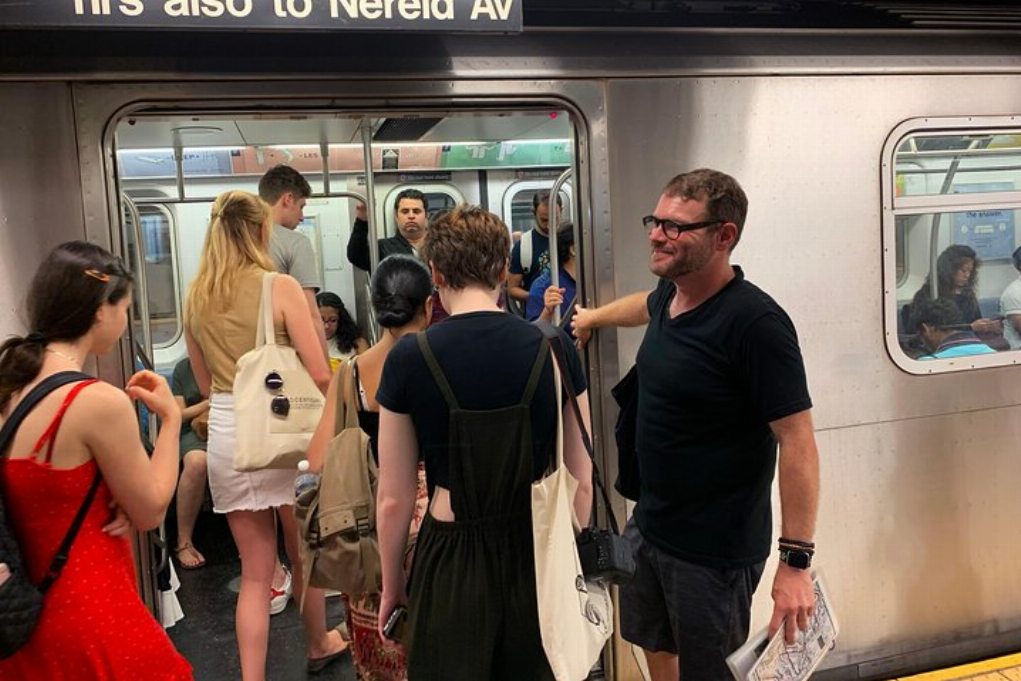
Нью-Йорк
Исследовать
Уникальный опыт
Путешествия и транспортные услуги
Туры, экскурсии и круизы
Билеты и пропуска
Билеты и абонементы на спортивные мероприятия
Малая группа
Сезонные и особые случаи
Санитарные меры приняты
Занятия на улице
Вероятность продажи
ЛГБТ-дружественные туры
Подходит для детей
Удобно избегать скопления людей
Еда, напиток
Превосходное качество
Классы и семинары
Лучшая конверсия
Аудиогиды
Искусство и культура
Виатор Плюс


 Более
Более

 Продолжить через Google
 Продолжить с Facebook
 Продолжить с Twitter
