 fr
fr
 English
 Russian
 Polish
 Ukrainian
 Serbian
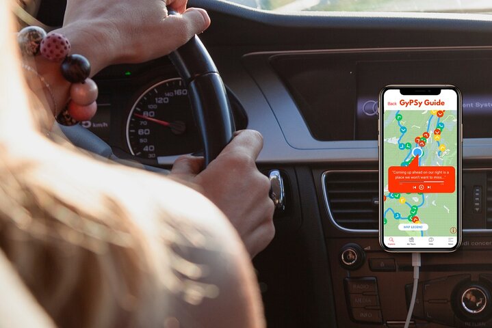


The GuideAlong Audio Driving Tour takes you on an incredible journey through two of America’s most popular national parks.
Along the way you'll be guided to all of the area's famous highlights as well as lessor known gems including bucket-list hikes, a historic ghost town, and a top lookout across the entire Bryce Amphitheater.
This self-guided audio tour helps you discover more on your road trip with fascinating behind-the-scenes stories, local tips and directions that plays automatically along the drive.
Enjoy the freedom to explore offline at your own pace so you can spend more time at places that interest you, and bypass any that don’t.
✅ Stories, tips and directions play automatically based on your location
✅ Travel at your own pace
✅ Tour offline using GPS, no cell service or WiFi needed
✅ Suggested itineraries for half, full or multi day use
✅ Buy once, use forever! No expiry, includes free updates


 Expériences uniques
 Services de voyage et de transport
 Tours, visites et croisières
 Billets et laissez-passer
 Billets et laissez-passer pour événements sportifs
 Petit groupe
 Occasions saisonnières et spéciales
 Mesures d'assainissement appliquées
 Activités extérieures
 Susceptible de se vendre
 Visites amicales LGBT
 Accueille les enfants
 Implique des animaux
 Bon pour éviter les foules
 Nourriture boisson
 Excellente qualité
 Cours & Ateliers
 Meilleure conversion
 Audioguides
 Art & Culture
 Viateur Plus
 Sustainable Tours
Limousine Transfers
Donut Walking Tour
Virtual Experiences
Additional fees
DSA non-compliant
Sustainable Tours
Limousine Transfers
Donut Walking Tour
Virtual Experiences
Additional fees
DSA non-compliant
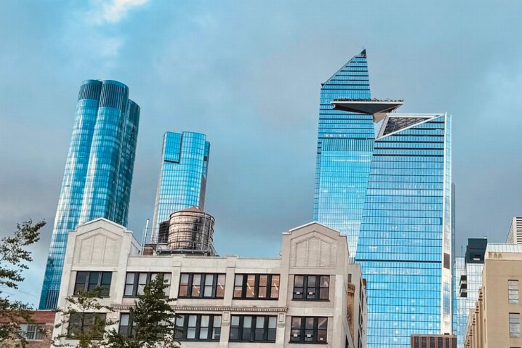
La ville de New York
Explorer
Expériences uniques
Services de voyage et de transport
Tours, visites et croisières
Billets et laissez-passer
Billets et laissez-passer pour événements sportifs
Petit groupe
Occasions saisonnières et spéciales
Mesures d'assainissement appliquées
Activités extérieures
Susceptible de se vendre
Visites amicales LGBT
Accueille les enfants
Implique des animaux
Bon pour éviter les foules
Nourriture boisson
Excellente qualité
Cours & Ateliers
Meilleure conversion
Audioguides
Art & Culture
Viateur Plus
Sustainable Tours
Limousine Transfers
Donut Walking Tour
Virtual Experiences
Additional fees
DSA non-compliant


 Suite
Suite

 Continuer avec Google
 Continuer avec Facebook
 Continuer avec Twitter
