 pl
pl
 English
 Russian
 French
 Ukrainian
 Serbian
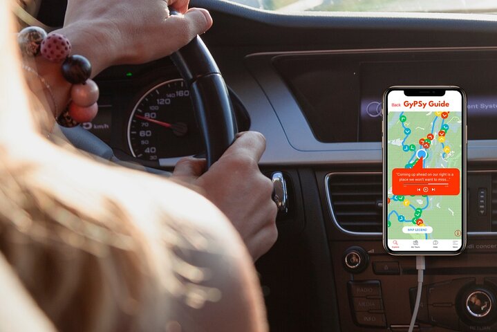


The GuideAlong Audio Driving Tour takes you on an incredible journey through two of America’s most popular national parks.
Along the way you'll be guided to all of the area's famous highlights as well as lessor known gems including bucket-list hikes, a historic ghost town, and a top lookout across the entire Bryce Amphitheater.
This self-guided audio tour helps you discover more on your road trip with fascinating behind-the-scenes stories, local tips and directions that plays automatically along the drive.
Enjoy the freedom to explore offline at your own pace so you can spend more time at places that interest you, and bypass any that don’t.
✅ Stories, tips and directions play automatically based on your location
✅ Travel at your own pace
✅ Tour offline using GPS, no cell service or WiFi needed
✅ Suggested itineraries for half, full or multi day use
✅ Buy once, use forever! No expiry, includes free updates


 Wyjątkowe doświadczenia
 Usługi podróżnicze i transportowe
 Wycieczki, zwiedzanie i rejsy
 Bilety i karnety
 Bilety i karnety na wydarzenia sportowe
 Mała grupa
 Sezonowe i specjalne okazje
 Zastosowano środki sanitarne
 Zajęcia na dworzu
 Prawdopodobne do wyprzedania
 Wycieczki przyjazne LGBT
 Przyjazne dla dzieci
 Obejmuje zwierzęta
 Dobre do unikania tłumów
 Jedzenie picie
 Świetna jakość
 Zajęcia i warsztaty
 Najlepsza konwersja
 Przewodniki audio
 Sztuka i kultura
 Viator Plus
 Sustainable Tours
Limousine Transfers
Donut Walking Tour
Virtual Experiences
Additional fees
DSA non-compliant
Sustainable Tours
Limousine Transfers
Donut Walking Tour
Virtual Experiences
Additional fees
DSA non-compliant
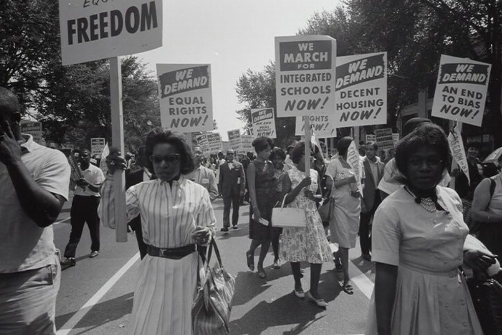
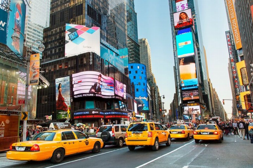
Nowy Jork
Badać
Wyjątkowe doświadczenia
Usługi podróżnicze i transportowe
Wycieczki, zwiedzanie i rejsy
Bilety i karnety
Bilety i karnety na wydarzenia sportowe
Mała grupa
Sezonowe i specjalne okazje
Zastosowano środki sanitarne
Zajęcia na dworzu
Prawdopodobne do wyprzedania
Wycieczki przyjazne LGBT
Przyjazne dla dzieci
Obejmuje zwierzęta
Dobre do unikania tłumów
Jedzenie picie
Świetna jakość
Zajęcia i warsztaty
Najlepsza konwersja
Przewodniki audio
Sztuka i kultura
Viator Plus
Sustainable Tours
Limousine Transfers
Donut Walking Tour
Virtual Experiences
Additional fees
DSA non-compliant


 Jeszcze
 Kontynuuj z Google
 Kontynuuj z Facebookiem
 Kontynuuj z Twitterem
