 uk
uk
 English
 Russian
 French
 Polish
 Serbian
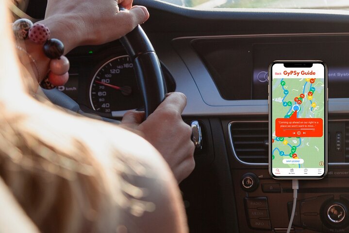


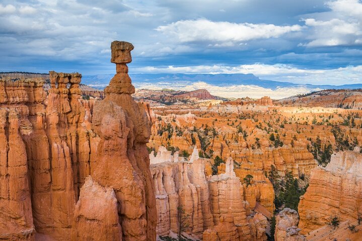
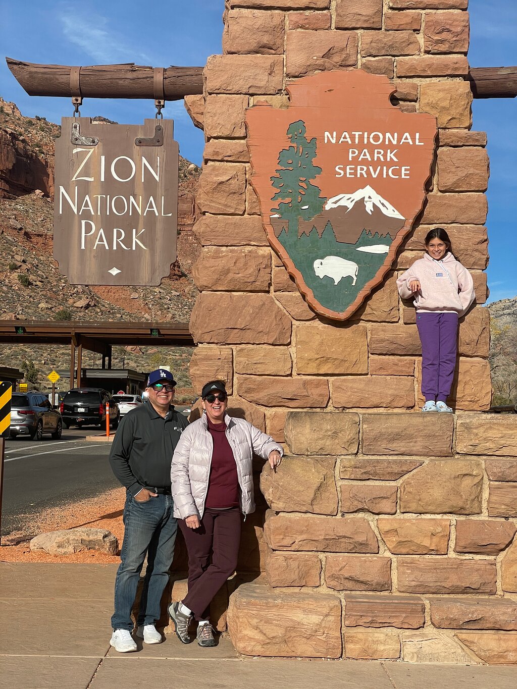
The GuideAlong Audio Driving Tour takes you on an incredible journey through two of America’s most popular national parks.
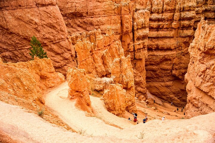
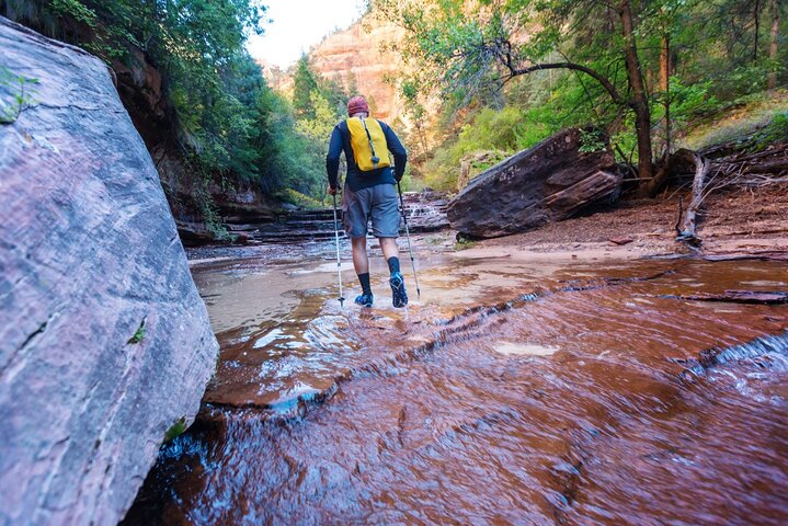
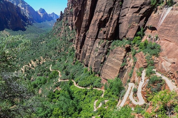
Along the way you'll be guided to all of the area's famous highlights as well as lessor known gems including bucket-list hikes, a historic ghost town, and a top lookout across the entire Bryce Amphitheater.
This self-guided audio tour helps you discover more on your road trip with fascinating behind-the-scenes stories, local tips and directions that plays automatically along the drive.
Enjoy the freedom to explore offline at your own pace so you can spend more time at places that interest you, and bypass any that don’t.
✅ Stories, tips and directions play automatically based on your location
✅ Travel at your own pace
✅ Tour offline using GPS, no cell service or WiFi needed
✅ Suggested itineraries for half, full or multi day use
✅ Buy once, use forever! No expiry, includes free updates


 Унікальний досвід
 Подорожі та транспортні послуги
 Тури, екскурсії та круїзи
 Квитки та перепустки
 Квитки та перепустки на спортивні події
 Мала група
 Сезонні та особливі випадки
 Застосовані санітарні заходи
 Заходи на свіжому повітрі
 Ймовірно, буде розпродано
 ЛГБТ-дружні тури
 Зручно для дітей
 Залучає тварин
 Добре, щоб уникнути натовпу
 Їжа та напої
 Відмінна якість
 Заняття та семінари
 Найкраще перетворення
 Аудіогіди
 Мистецтво та культура
 Віатор Плюс
 Sustainable Tours
Limousine Transfers
Donut Walking Tour
Virtual Experiences
Additional fees
DSA non-compliant
Sustainable Tours
Limousine Transfers
Donut Walking Tour
Virtual Experiences
Additional fees
DSA non-compliant
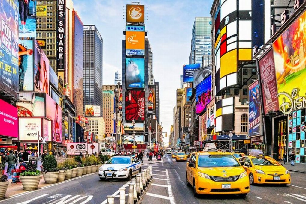
Нью-Йорк
Досліджуйте
Унікальний досвід
Подорожі та транспортні послуги
Тури, екскурсії та круїзи
Квитки та перепустки
Квитки та перепустки на спортивні події
Мала група
Сезонні та особливі випадки
Застосовані санітарні заходи
Заходи на свіжому повітрі
Ймовірно, буде розпродано
ЛГБТ-дружні тури
Зручно для дітей
Залучає тварин
Добре, щоб уникнути натовпу
Їжа та напої
Відмінна якість
Заняття та семінари
Найкраще перетворення
Аудіогіди
Мистецтво та культура
Віатор Плюс
Sustainable Tours
Limousine Transfers
Donut Walking Tour
Virtual Experiences
Additional fees
DSA non-compliant


 більше
 Продовжуйте з Google
 Продовжуйте з Facebook
 Продовжуйте з Twitter
